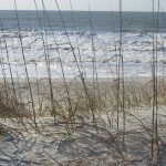
The Town Of Holden Beach, North Carolina is a barrier island located on the southern edge of Brunswick Country in southeastern North Carolina (33.9 degrees north latitude and 78.3 degrees west longitude). The island is south facing running generally east and west, bounded on the south by the Atlantic Ocean and on the north by the Intercoastal Waterway.
By 1954 the island had about 300 homes and a turn-bridge for access from the mainland. After that year's destructive hurricane Hazel, rebuilding was slow. On February 14, 1969 the island was incorporated and on May 13, 1986 the Town of Holden Beach dedicated a high rise steel and concrete bridge, allowing better access to the then more than 1700 homes on the island.
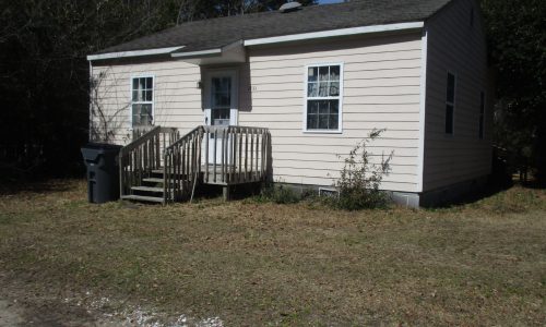
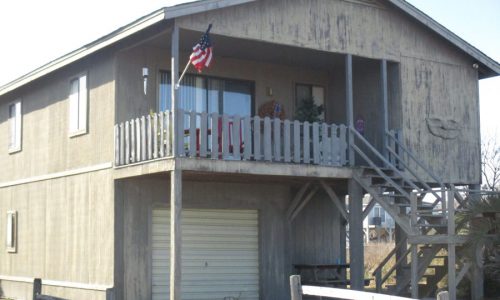
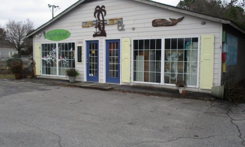
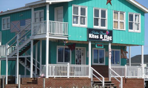
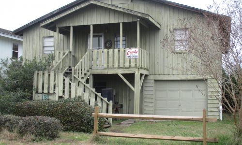
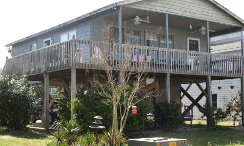
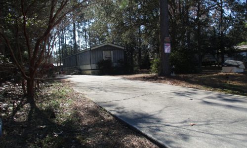
The island is about eight miles long and one half mile wide with a permanent population of approximately 900 residents. The community projects a "family beach: image through zoning and appearance rules, including a building height limit. The modest amount of commercial development consists of a fishing pier, two fish houses and several charter boats operations. Additionally, there is a pizza restaurant, two general stores, an apparel store and real estate/rental agencies.
The tourist industry, which produces much of the Holden Beach town's the town's peak population to approximately 15,000 residents and visitors combined. The income from this industry is almost entirely derived from peak population in mid summer to over 20,000 residents and visitors combined. Two private subdivisions, Holden Beach West at the western end and Dunescape at the eastern end, are currently under development.
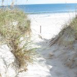
Field Trip Guide heading east. This area represents some of the earliest on the island dating back to 1934. The earliest home sites were destroyed when the inland the public holden beach sites on the island. The east end of Holden Beach is also the area that is most susceptible to , due to the changing inlet. Heading west on Ocean Blvd, stop at the local fishing pier to view the affects of the town’s latest beach efforts, illustrated by the wide flat beach face. Continuing west on Ocean Blvd, stop at both Greensboro St. and Swordfish St. as these areas are sites of importance as they were inlets less than 75 years ago. Overwash fans in these two areas attest to the scope of damage inflicted upon the island by in 1954, when more than 90% of the houses were destroyed, and Mary’s Inlet was briefly reopened. At the very west end, development continues as Holden Beach continues.